Whiskey Creek, Florida
Latitude: 26.081470 / Longitude: -80.112354
| Difficulty: |
|
Total ratings: 1 |
| Rating: |
|
Total ratings: 1 |
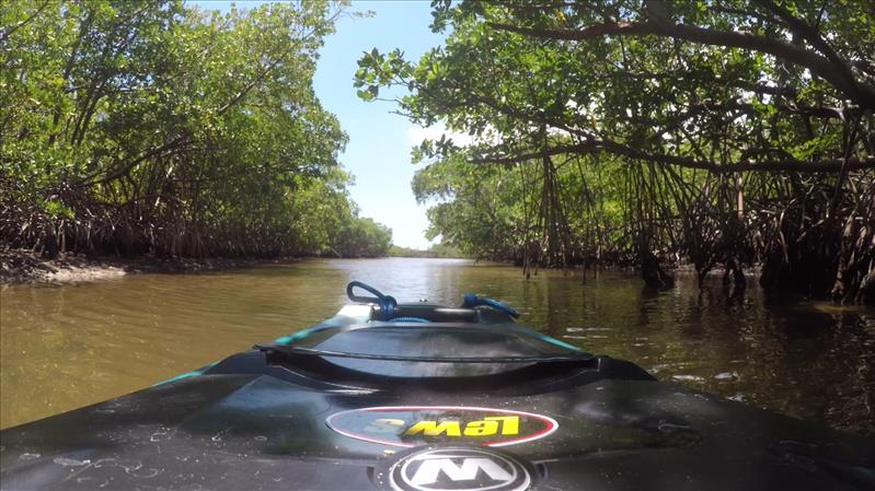
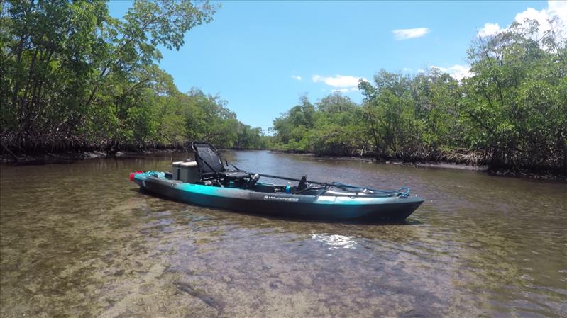
Whiskey Creek is an approximately 1.5 mile stretch of mangrove lined shallow canal located in John U Lloyd State Park in Dania Beach, FL. Whiskey Creek earned its name during the prohibition era where whiskey bootleggers used it to avoid the law. The creek is too shallow for Coast Guard cutters to navigate through. The creek runs parallel to and sits between the Intracoastal on one side and Dania Beach on the other
Kayaking Whiskey Creek - Photos
by: BW Admin (6/2/2019)
(click images to view full size)
Lat.: 26.081561 / Long.: -80.112519
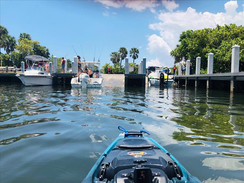
Turning the corner from the boat ramp into Whiskey Creek
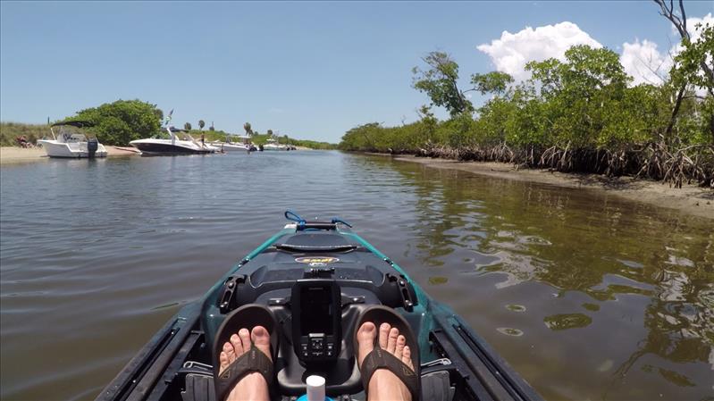
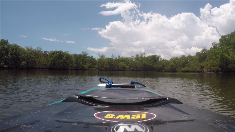
There are boats along the beach on the very first stretch of the creek with some sandbar type antics going down. This was on a Saturday though, I imagine if you went on a weekday you would see almost nobody
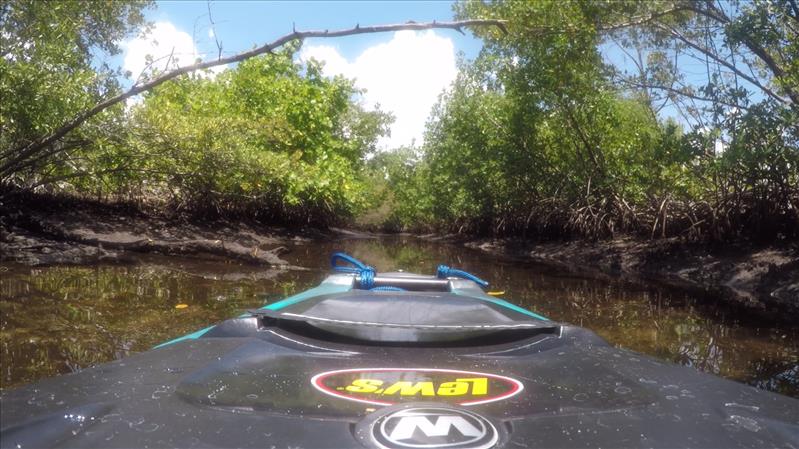
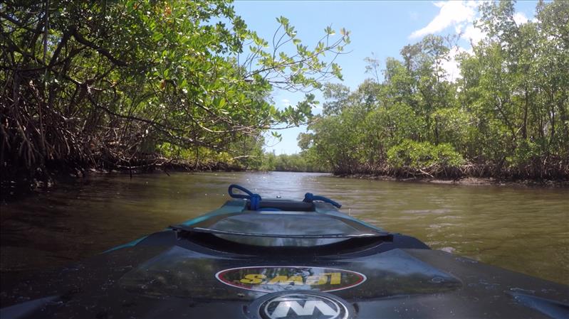
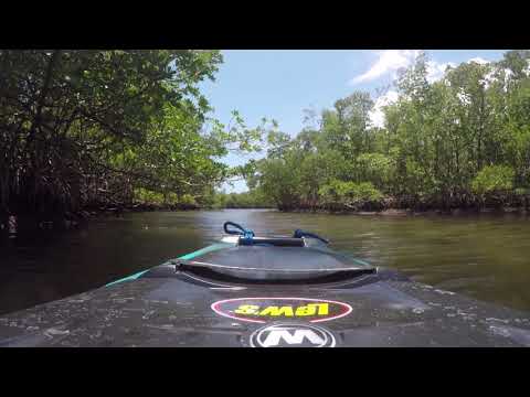
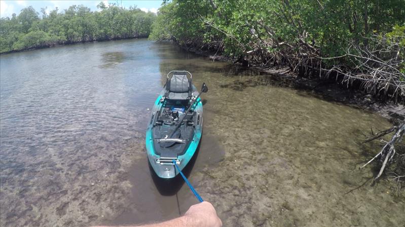
There are a few side tributaries marked with signs that read Kayak/canoe only. They were really shallow though I didn't get very far
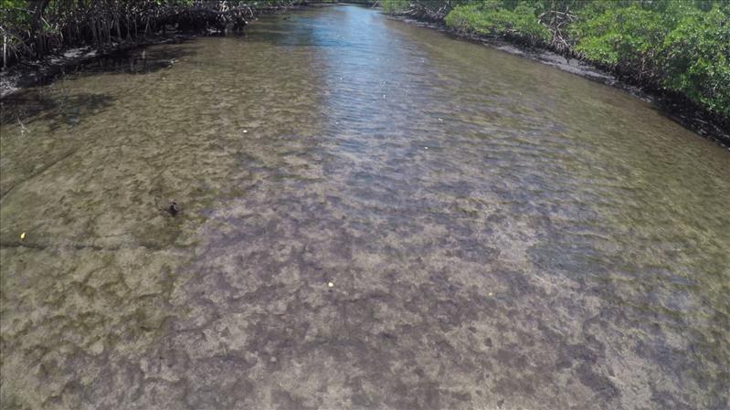
Lat.: 26.071991 / Long.: -80.111533
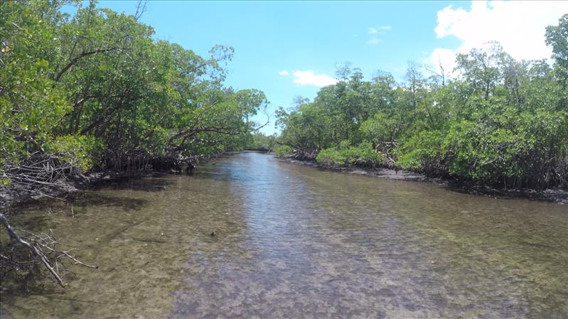
This is about where it started getting too shallow to paddle
This wasn't going to cut it so I turned back
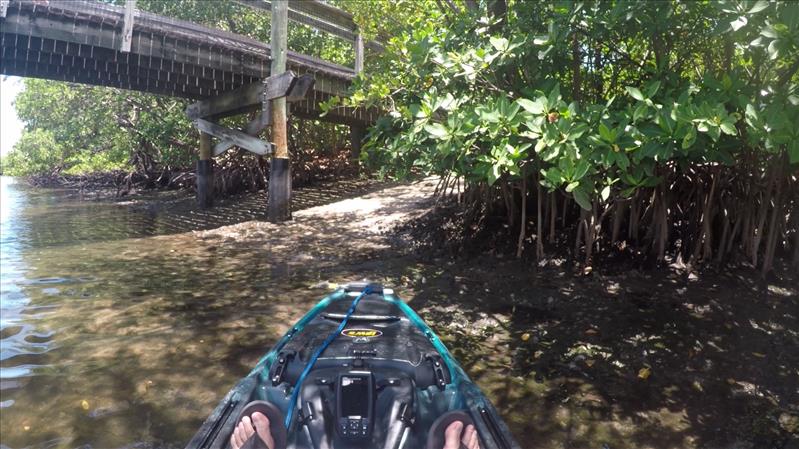
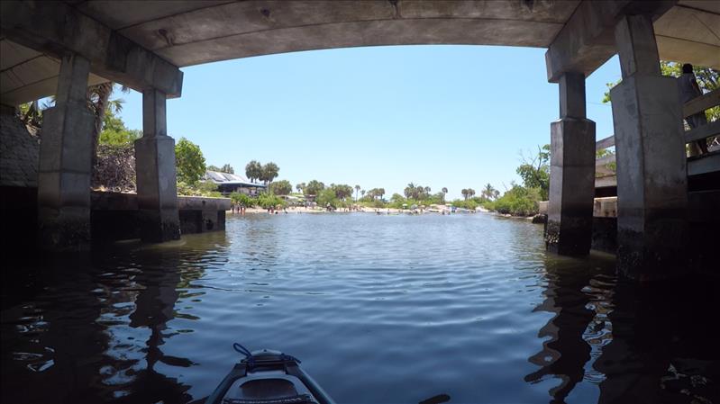
There are a few foot bridges over the creek leading to the beach, I hit this one up to hit the beach for a spell
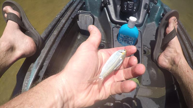
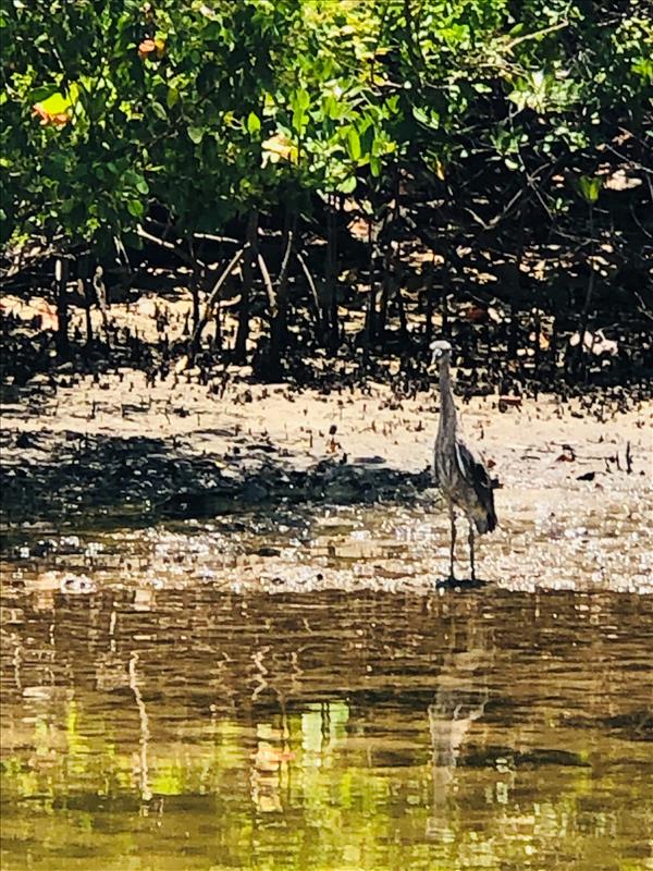
On the shallow stretches there were so many bait fish you could hear them thumping against the hull of the boat. This one actually jumped in with me
Lat.: 26.063816 / Long.: -80.112730