Inca Trail - Ayapata to Chaquicocha
Latitude: -13.223009 / Longitude: -72.518765
| Difficulty: | Total ratings: 1 | |
| Rating: | Total ratings: 1 |
Inca Trail - Ayapata to Chaquicocha
| Difficulty: | Total ratings: 1 | |
| Rating: | Total ratings: 1 |
Inca Trail - Ayapata to Chaquicocha
by: BW Admin (1/10/2022)
(click images to view full size)
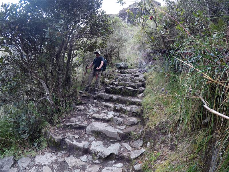
This is a shot of the stone steps you have to traverse, pretty much straight out of the Chaquicocha campsite.

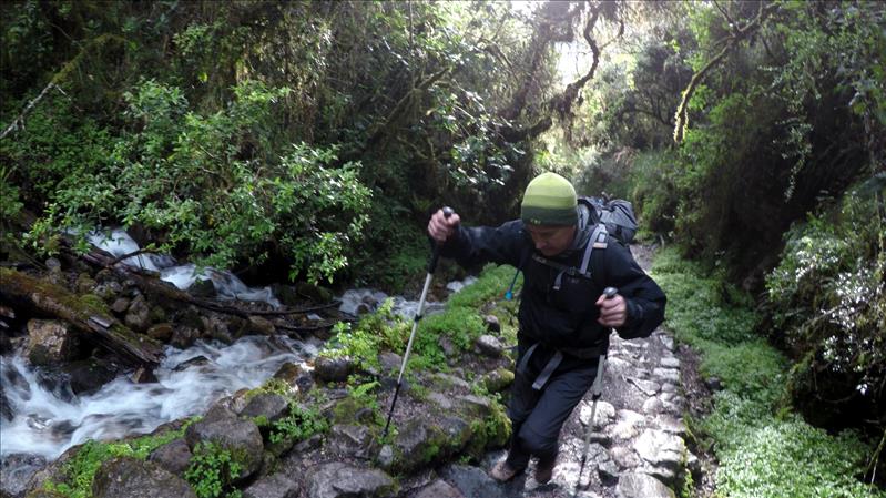
Another shot of some of the day 2 steps with a nice waterfall running along the side.
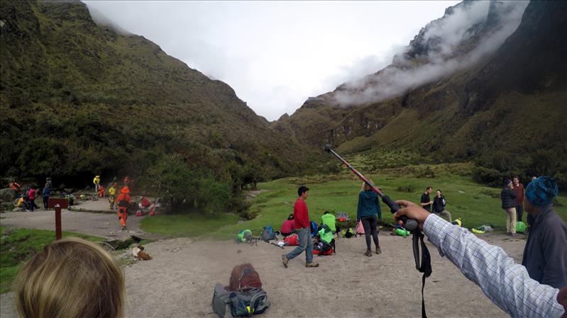
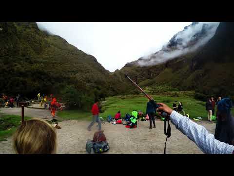
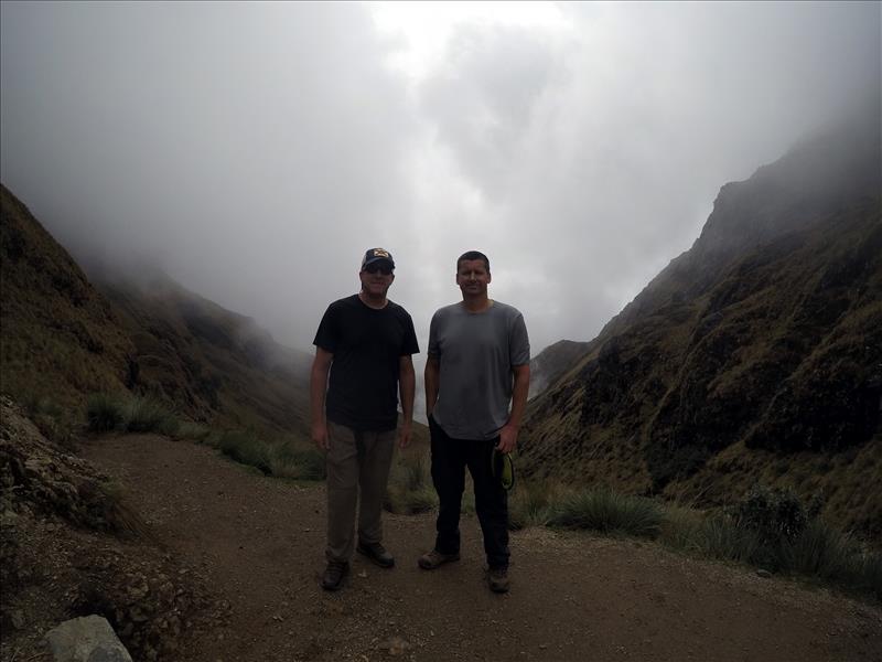
This is the guide pointing out Dead Woman's Pass before we have to climb it.
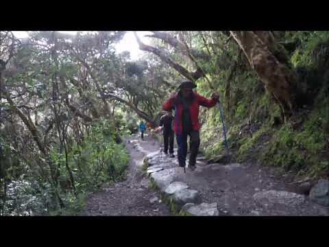
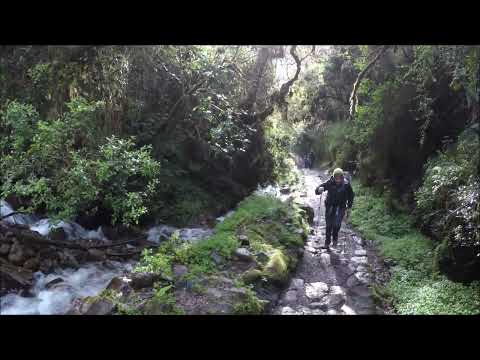
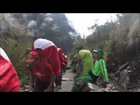
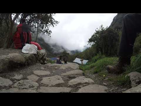
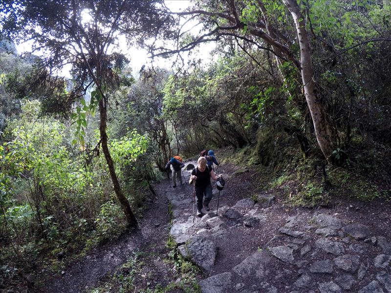
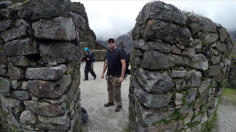
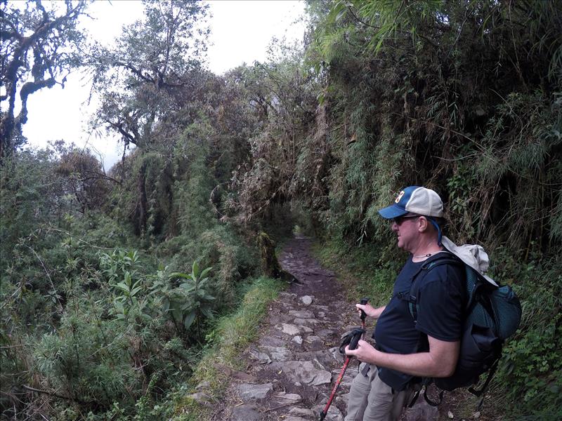
Random trail shot
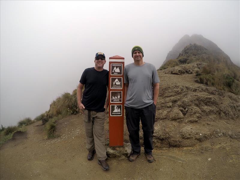
This is the sign at the top of Dead Woman's Pass. As with most peaks there is a pretty significant drop in temperature with increase in wind up there. Unfortunately the descent is probably even steeper than the climb, watch those knees.
Descending stone steps, use those trekking poles
These were taken at the Runkurakay ruins. This was along a trade route used by the Incas, it is believed the site was used as a rest station for messengers.
Runkurakay ruins
Runkurakay ruins
Runkurakay ruins
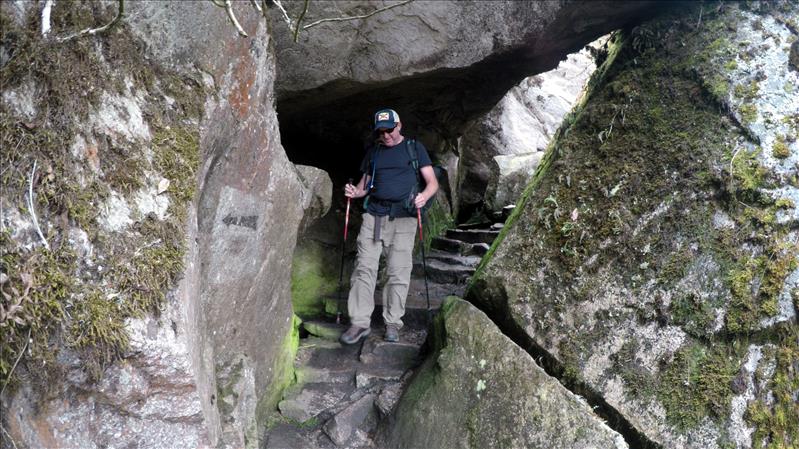
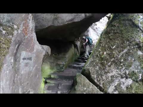
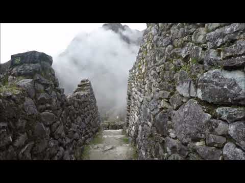
There are a few cool spots along the trail where you navigate through caverns like this
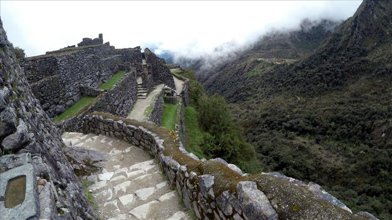
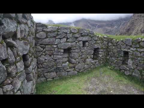
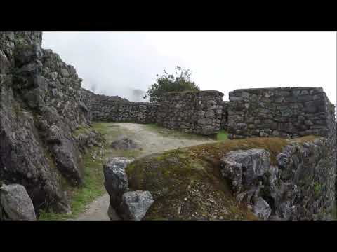
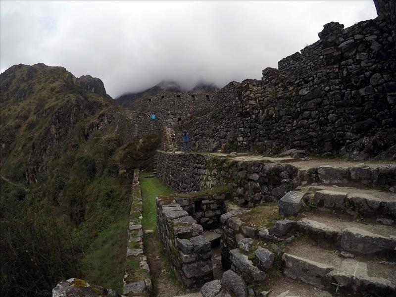
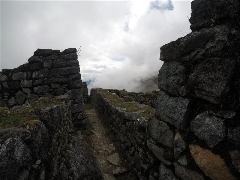
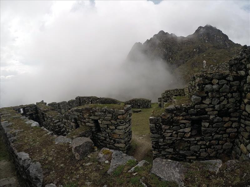
These were taken at the Sayacmarca ruins. The site is believed to be the ruins of an ancient village and sacred area that was part of the Inca empire.
Sayacmarca ruins
Sayacmarca ruins
Sayacmarca ruins
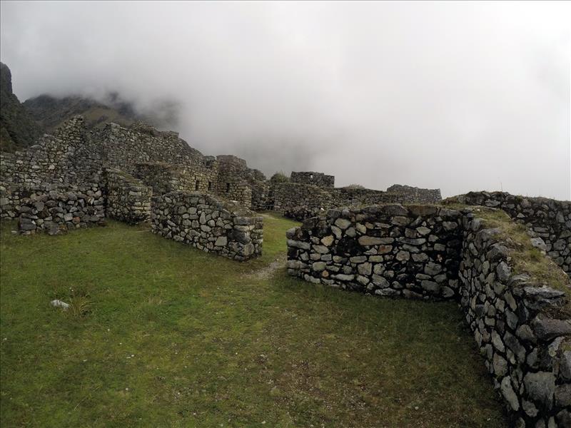
Sayacmarca ruins
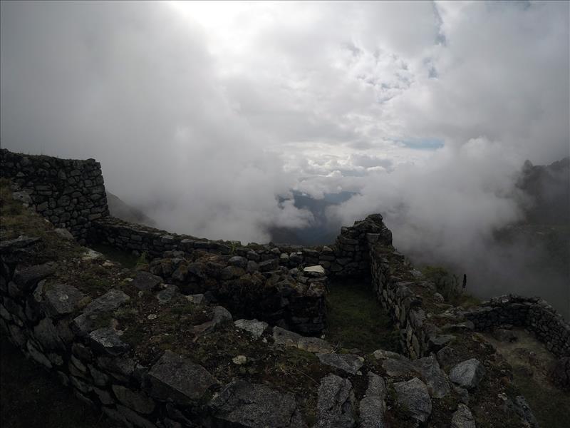
Sayacmarca ruins
Sayacmarca ruins
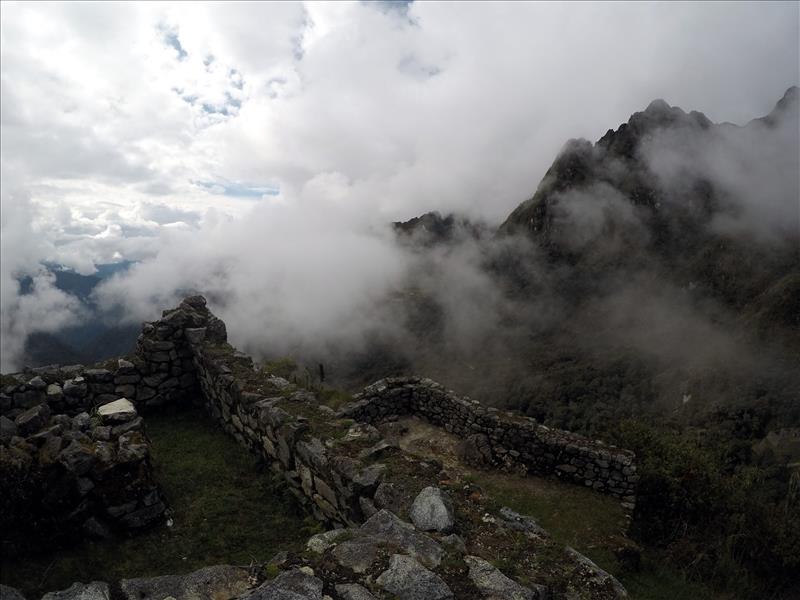
Sayacmarca ruins
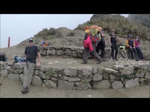
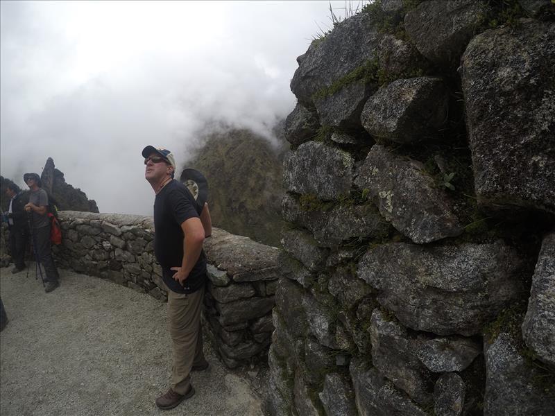
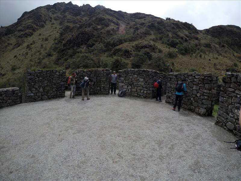
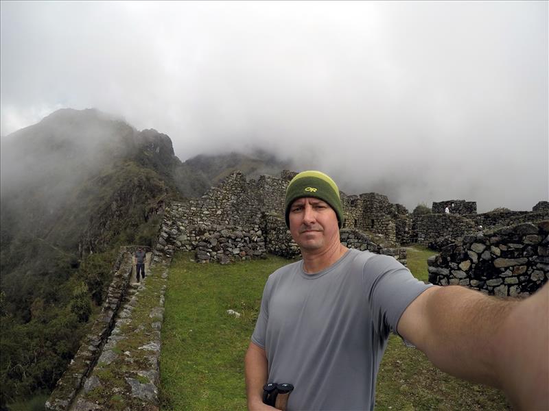
Admiring the view
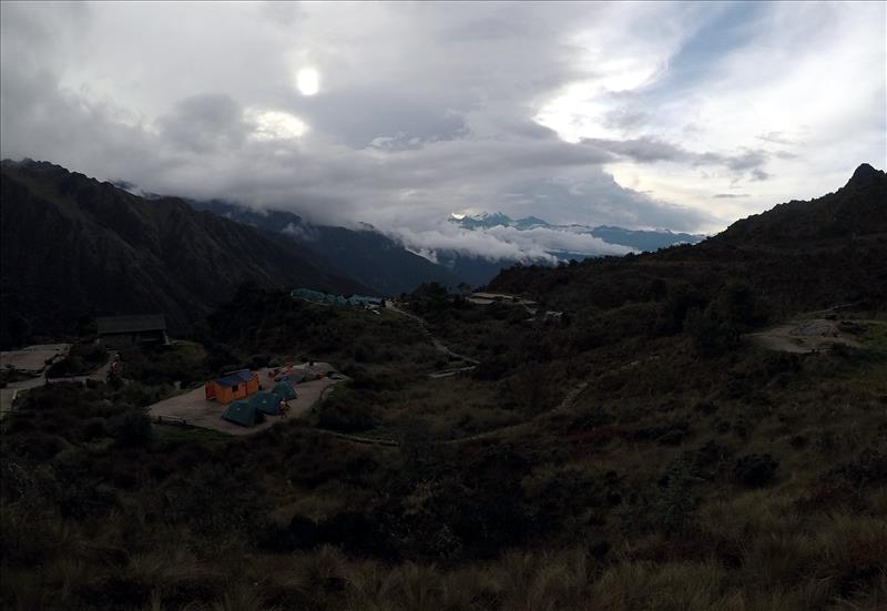
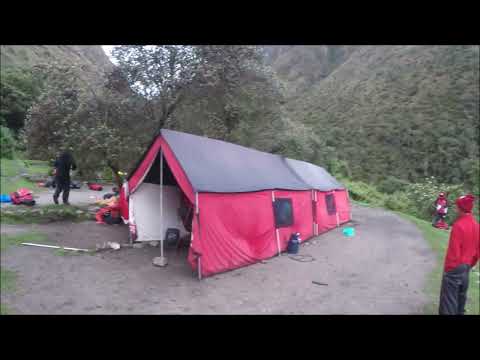
Chaquicocha campsite, a beautiful site for sore legs
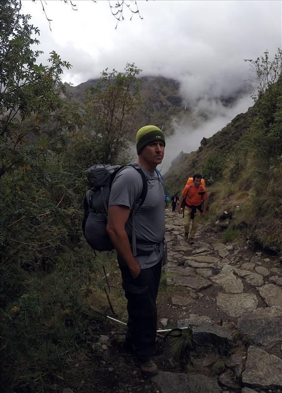
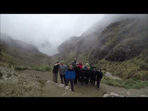
Random trail pic
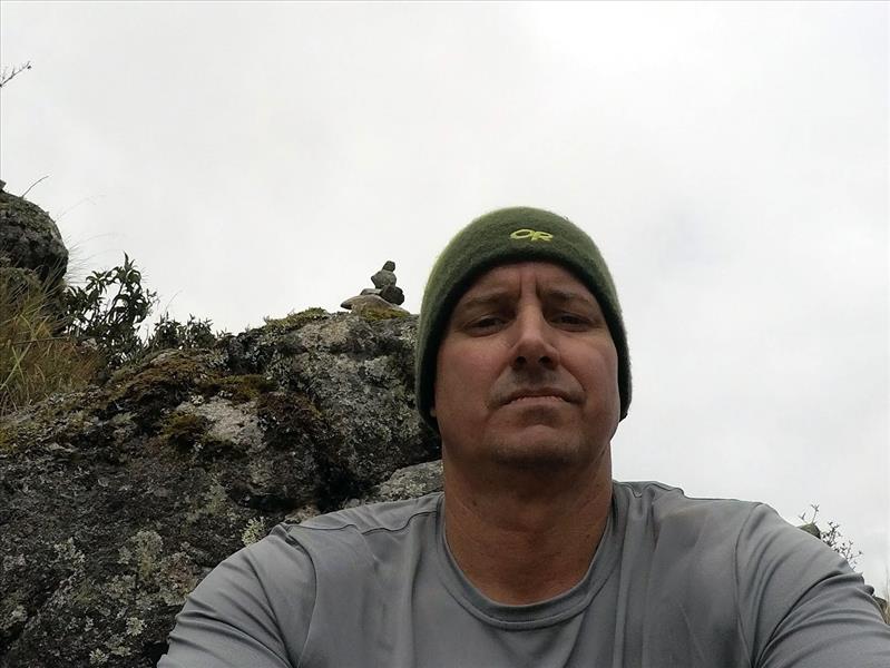
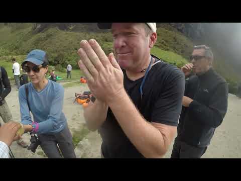
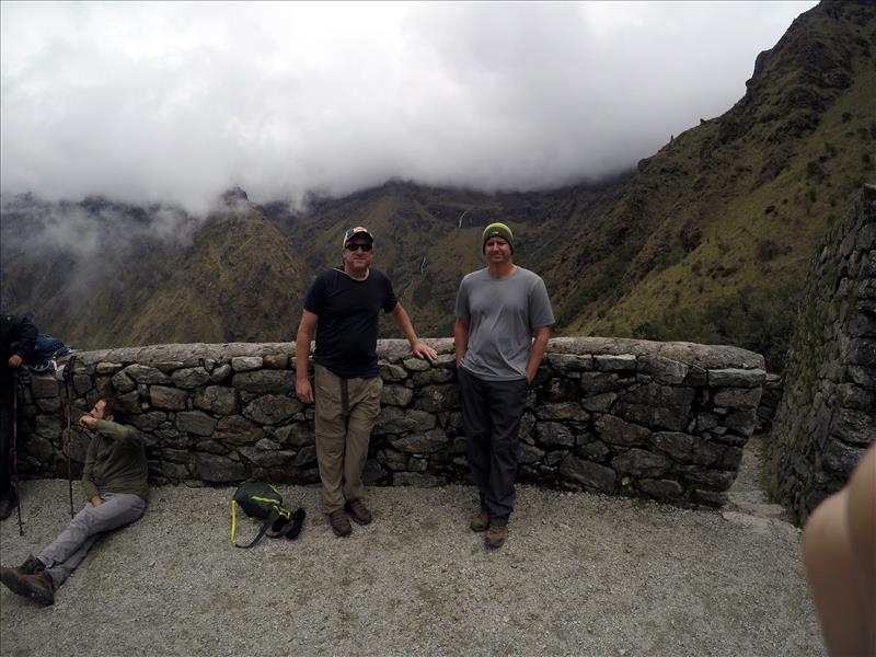
Taking a much needed rest break
by: BW Admin (1/10/2022)