Inc Trail - Chaquicocha to Winay Wayna - Photos
by: BW Admin (1/12/2022)
(click images to view full size)
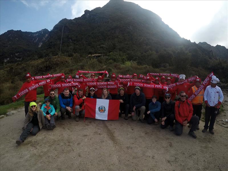
Obligatory group photo at Chaquicocha campsite
Lat.: -13.222965 / Long.: -72.518899
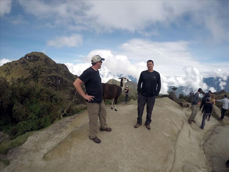
Phuyupatamarca ruins, amazing vistas and llamas, llamas, llamas.
Lat.: -13.206657 / Long.: -72.530331
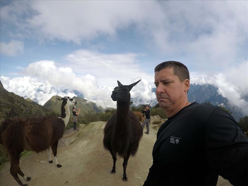
Lat.: -13.206644 / Long.: -72.530342
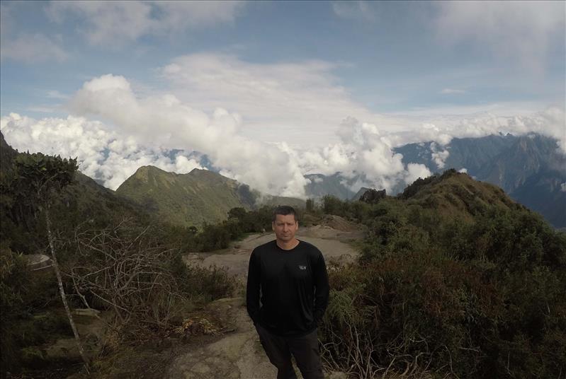
Lat.: -13.206527 / Long.: -72.530367
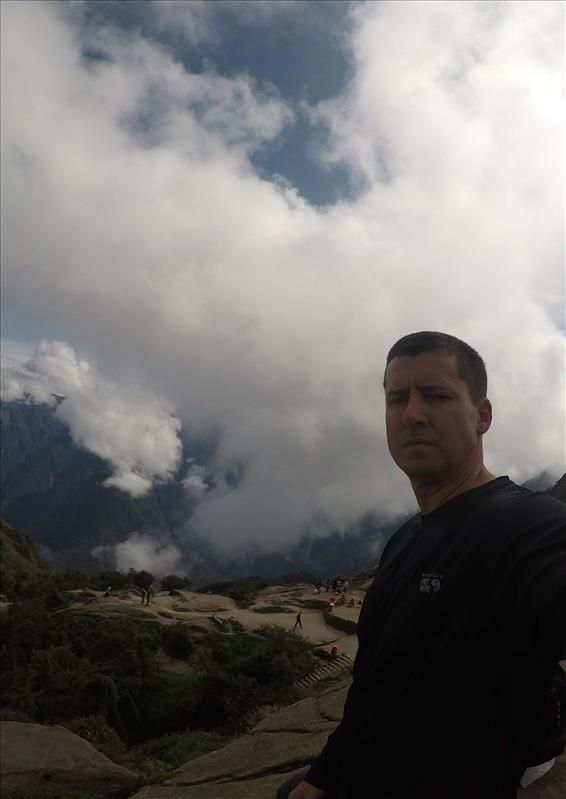
Phuyupatamarca ruins
Lat.: -13.207016 / Long.: -72.530598
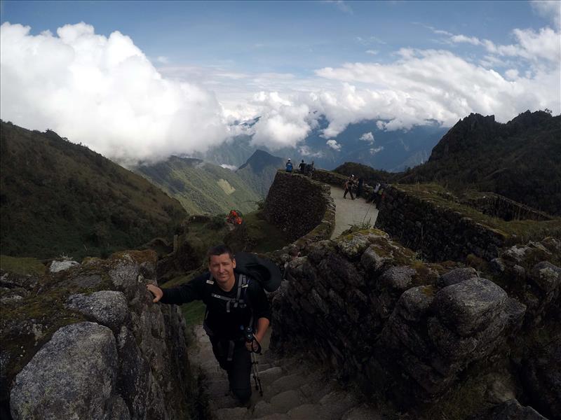
Lat.: -13.206397 / Long.: -72.531729
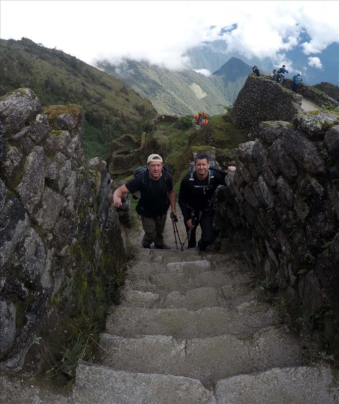
Phuyupatamarca ruins
Lat.: -13.206384 / Long.: -72.531733
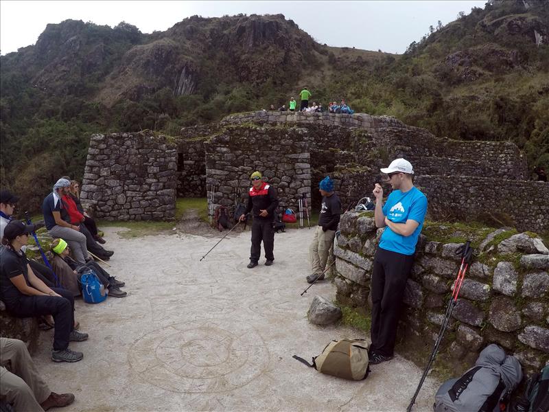
Our guide Marco explaining the history of the site on his white board.
Lat.: -13.206266 / Long.: -72.531741
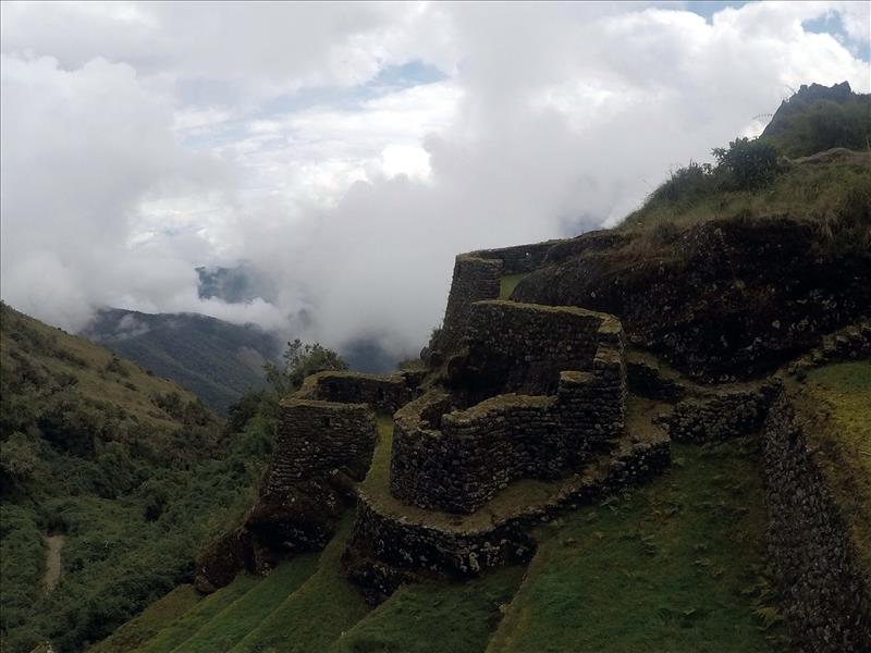
Lat.: -13.206267 / Long.: -72.531952
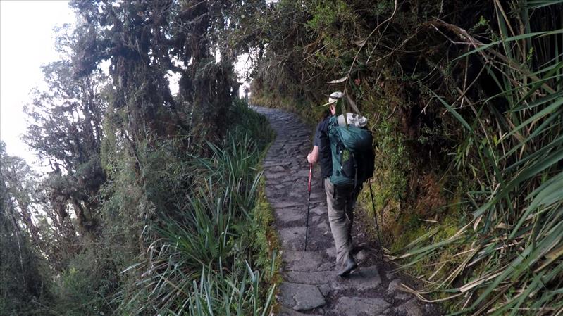
Random trail shot of path
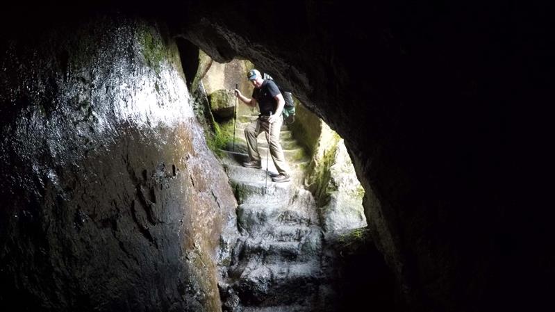
Cool shot of navigating the path through a cave. Watch that footing...
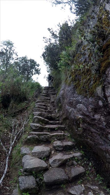
Random trail shot of path, more downhill
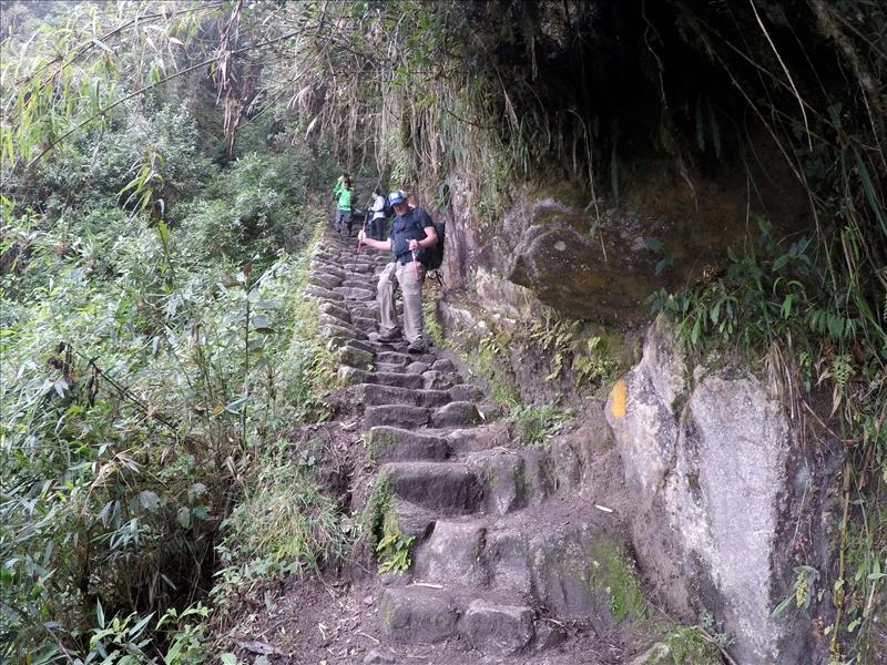
Random trail shot of path
Lat.: -13.201684 / Long.: -72.538397
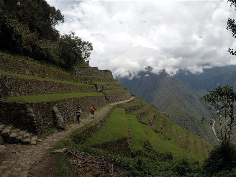
Lat.: -13.186498 / Long.: -72.542072
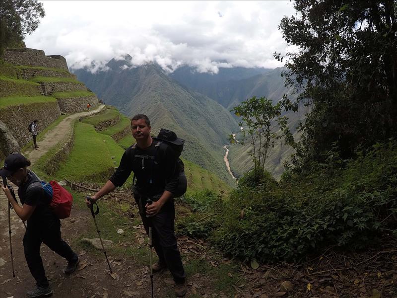
Lat.: -13.186484 / Long.: -72.542091
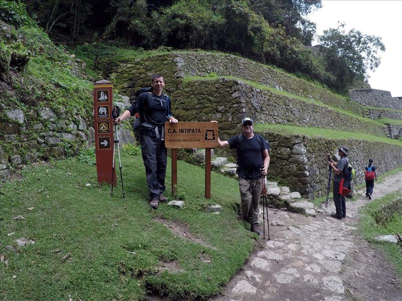
Lat.: -13.186519 / Long.: -72.542136
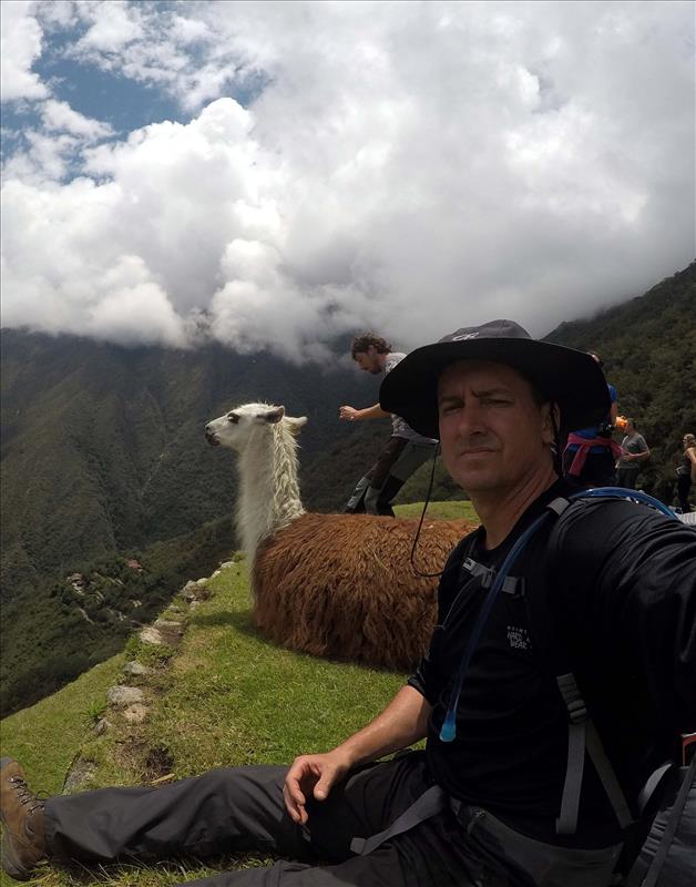
Llamas at the Intipata site!
Lat.: -13.185848 / Long.: -72.541298
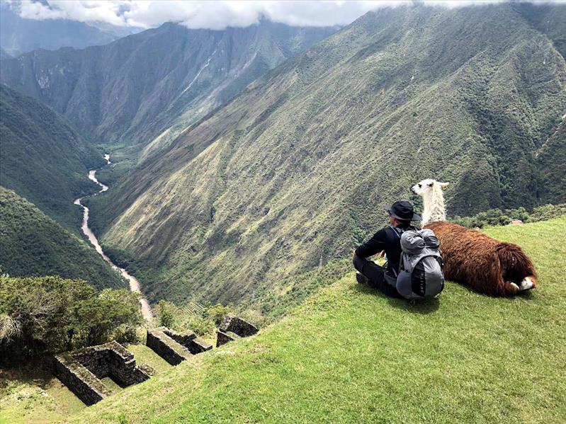
Llamas at the Intipata site! The view is nothing short of amazing...
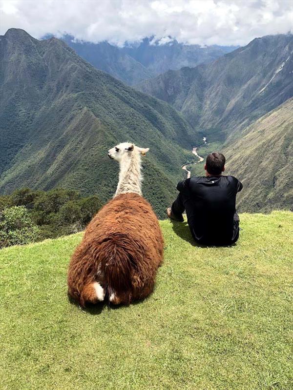
Llamas at the Intipata site!
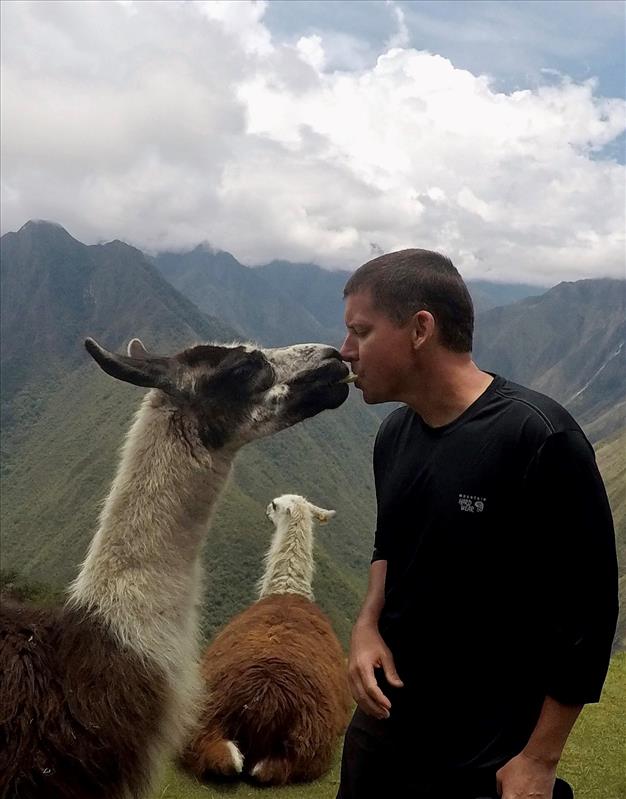
Llamas at the Intipata site! For the record that is an apple slice not my tongue...
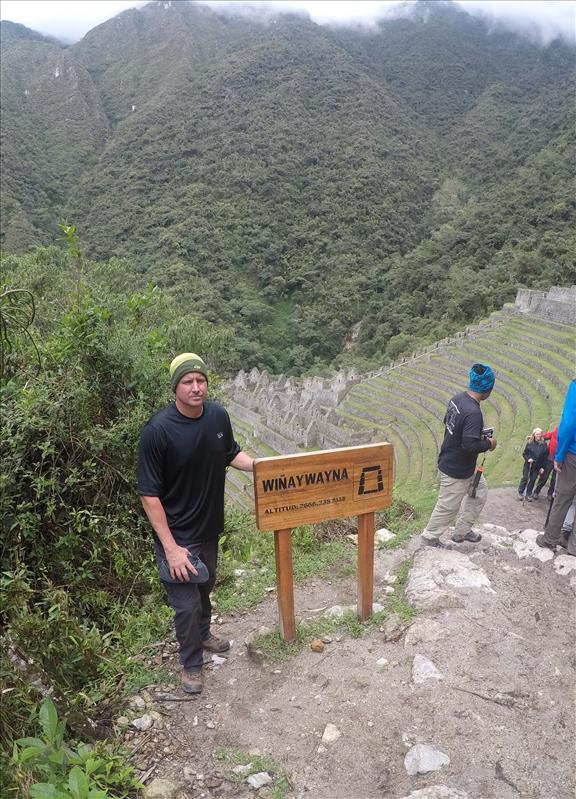
Winayhuayna site
Lat.: -13.192194 / Long.: -72.536645
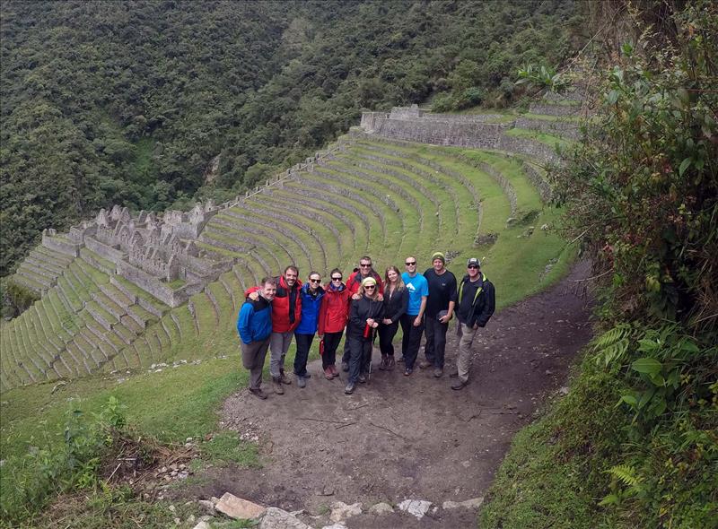
Lat.: -13.192232 / Long.: -72.536608